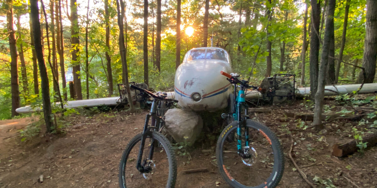
Colloquially known as simply, The Farm, MTB Kingston’s vast network of singletrack (40+ km) is built entirely on private land, solely because of the generosity of our gracious landowners and the tireless work of our dedicated volunteers. We really can’t thank them enough!
We require all riders to first register then obtain a membership tag prior to riding on our network. In order to prevent trespassing by unregistered (uninsured) riders, we have no trail locations listed in any form of online-accessible media. This means that we do not have maps available.
You can find the rest of our Club Rules listed here. Please read them, and abide by them when using any MTB Kingston property.
We do have a Facebook Group, full of helpful individuals who would be happy to answer your questions, so please utilize them if you have any.
At the trailhead (address delivered in the registration receipt email), members will find a kiosk with the open/closed status of each trail, and the official map of our trail network. Although the trails are signed, there are currently no trail difficulty ratings, or distances posted.

Below, you will find the names, difficulty rating, and distance for each of our trails, along with the direction of travel and a link to a general description. Please be advised that there is an assumption of risk required by all riders because regardless of trail difficulty rating, there are hazards that exist everywhere in this sport. Ask questions, and always look before you leap.
Demo Loop – 3.5 km – Easiest
Direction of Travel – Counter Clockwise
Home Loop Full Trail – 13.4 km – Easy-Intermediate
Home Loop without Rooney’s – 11.7 km – Easy-Intermediate
Home Loop IMBA Short Course – 7.5 km – Easy-Intermediate
Direction of Travel – Counter Clockwise
Collins Lake Loop – 10.1 km (including out and back) – Intermediate
Direction of Travel – Counter Clockwise
The following three trails are all difficult in comparison to Home and Collins Lake Loops, and they must all be accessed by either riding Home Loop or riding the farm road that runs south from the barn along the west fence line of the main property, to and from the unassumed road to the south. This Farm Road, the most direct route, is 1.8 km each way.


On all three of these trails, you will encounter some features that do not have ride-arounds. These are an indication of the skill level required to ride these trails. Please walk what you’re unable to ride, and DO NOT CREATE A RIDE-AROUND (B-Line or Braid).
Pete’s Loop – 5.7 km – Intermediate-Advanced
Direction of Travel – Counter Clockwise with a shared out and back
The final two loops both start and finish with the same one-way out and back trails, with the only shared portion being a long bridge crossing just below a very ambitious beaver dam. You can find the start of this trail just west of where Home Loop’s first half reaches the unassumed road.
The entrance trail is 850 m and the exit is 1.1 km, following signs for Ridge Bypass.


The Ridge – 4.2 km – Intermediate-Advanced
Direction of Travel – Clockwise
Route 66 – 7.2 km – Advanced
Direction of Travel – Clockwise
Not so much a trail, but more an area meant for sessioning is our Skills Course. This area can be reached by branching off to the right, following signs, in Sangers’ Sandbox.

This area requires an Intermediate-Advanced skill level to ride completely but offers many options to improve upon your riding skill. Please remember to look before you leap!